Advertisement


When should a housing society in Mumbai start considering re...
From GST on JDAs to SEBI’s REIT reclassification and the S...
Stay ahead in the world of real estate with our daily podcas...
Stay ahead in the world of real estate with our daily podcas...
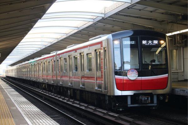
The Brihanmumbai Municipal Corporation has proposed preparing Local Area Plans (LAPs) for neighbourhoods around all 27 stations of Mumbai Metro Line 3 to improve land use, traffic management, and infrastructure planning. The first phase will cover four stations at a cost of about INR 1.37 crore. The study will include surveys, satellite mapping, and infrastructure assessments. The plans aim to guide development, improve last-mile connectivity, and ensure better integration of transport and urban growth. The full exercise is expected to be completed by 2028.
The Brihanmumbai Municipal Corporation (BMC) has proposed preparing Local Area Plans (LAPs) for areas surrounding stations on Mumbai Metro Line 3, with the aim of improving land use, traffic flow, and infrastructure planning in these high-impact zones. The proposal is part of a broader effort to align urban development with the city's expanding metro network. Advertisement


The civic body plans to begin the exercise with four metro stations in the first phase, with an estimated cost of around INR 1.37 crore, which works out to approximately INR 34.4 lakh per station. Officials have indicated that the remaining stations will be taken up in phases, and the overall cost may increase as the project expands to cover all 27 stations along the corridor.
According to officials, the LAPs will be prepared through detailed studies that include satellite imagery analysis, physical site inspections, and sample household surveys. These assessments will help map existing land use patterns, study road networks, analyse parking availability, and understand traffic movement in each station area.
The scope of work also includes preparing detailed land-use maps and traffic circulation plans, along with road design proposals. Special focus will be given to key roads ranging between 12 metres and 45 metres in width, where changes may be required to improve traffic flow and accessibility. The study will also identify infrastructure gaps and constraints that could affect future development in these areas.
In addition, station-level development frameworks will be created, outlining planning guidelines, infrastructure requirements, and estimated costs for implementation. Officials indicated that the focus will remain on practical improvements such as better road layouts, pedestrian movement, and traffic management, while aesthetic or beautification work is not part of the current plan.
The initiative is expected to be completed by 2028 and will serve as a guiding framework for future development along the Metro Line 3 corridor. Once finalised, these plans are likely to be integrated with the city's larger development strategy to ensure more coordinated and efficient urban growth.
Mumbai Metro Line 3, a 33.5-km underground corridor connecting Cuffe Parade to Aarey, has already improved connectivity across key commercial and residential areas. With most of its 27 stations located underground in dense urban zones, there has been a growing need to manage the impact of increased commuter movement on surrounding infrastructure.
In the past, similar planning gaps around major infrastructure projects have led to congestion, unorganised development, and pressure on civic amenities. The LAP initiative is intended to address these issues in advance by creating a structured framework for development around transit hubs. The civic body has also been working on improving last-mile connectivity through pedestrian pathways and access infrastructure, which aligns with the objectives of these plans.

5th Jun, 2025

25th May, 2023

11th May, 2023

27th Apr, 2023
Advertisement


 Facebook
 Whatsapp